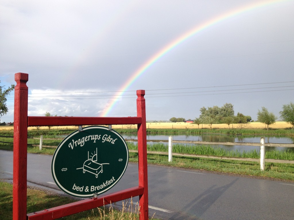
Adress: Vragerupsvägen 211, Staffanstorp
GPS-Coordinates
55.6846, 13.1171
Alternativa format:
N 55° 41′ 04”, E 13° 07′ 01″
N 55° 41.076, E 13° 07.026
X: 6176089, Y: 1330937
Directions, car
From E6
Exit nr 20, drive towards Lund (road 103), after that the second road to the right (Road sign Vragerup). Drive about 600 m, first farm on your right side.
From E22
Exit nr 19, pass to roundabouts, drive towards Göteborg. By the third roundabout drive towards Goteborg and Lomma. (Road 103), after that the first road on your left. (Road sign Vragerup). Drive about 600 m, first farm on your right side.
Directions, train
Hjärups trainsation is the closets train station, it’s about 1,5 kilometres walk to Vragerup. If we make a agreement in advance we can come and pick you up. Zoom in on the map for more details.
You can also take the train to Lunds trainstaion, and then take a taxi to Vragerup.
Make your on directions